Opening Hours:
Mon – Fri 10am – 4 pm, Weekends and Public Holidays 10am – 2pm.
Welcome & Nau mai to Cambridge Museum
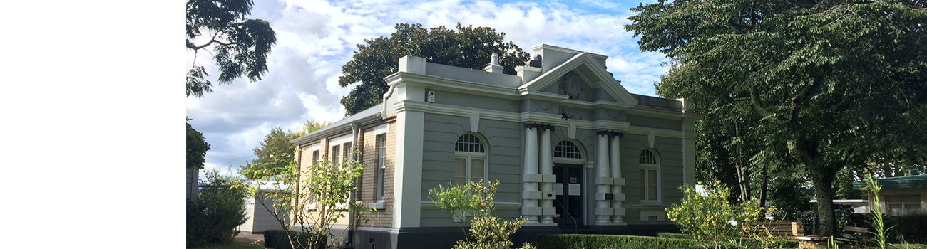
Located in the centre of Cambridge, 25 minutes from Hamilton, this Museum shares some of the many voices and stories from Cambridge Te Oko Horoi from flourishing Māori communities, followed by military and European settlement, to the beginnings of the dairy industry and investment in renewable energies.
The Cambridge Historical Society Inc. own the collections and operate the Cambridge Museum with support from the community and the Waipā District Council.
We invite you to explore our site and its different sections, and visit again.
Free entry.